

(Path of the Mediterranean coastline of the E12)
Description:
The trail begins on the left just after the road bridge over the river Mingardo going from Palinuro to Marina di Camerota. Path a first short stretch more challenging for the height difference, the trail gains elevation gradually through the pine forest with wide views of the coast (Capo Palinuro, Cefalo Creek) and hinterland. It goes for the town Iazzo Sant'Iconio where was an old Basilian abbey and where there is a large colony of licorice. Then continue on a smooth dirt road to the village of San Antonio where there is a chapel dedicated to the saint and which offers a beautiful view of Camerota and Marina .
From here you can choose to return to the same path, or go down a farm road to the provincial Palinuro - Marina di Camerota (instead. Cala d'Arconte) here and finish the hike or even better get to Marina di Camerota through a convenient boardwalk through the villages and beach Capogrosso Calanca (lengthening the hike at about 15 km).
Points of interest and environmental value:
Torre del Mingardo, Cefalo Creek, Iazzo sant'Iconio, Chapel of St. Anthony
Technical information of the path:
- The type of route: Round trip
- Segnavia: WHITE RED (BE)
- Point of origin and destination: Torre del Mingardo (after the bridge)
- Distance: 12 km A/R
- Drop: + 0 - 300 mt
- Lifespan: 4 hours + stops
- Availability of water: None
- Difficulty level: And – Hiking
- Note the level of difficulty: In summer avoid the midday heat and sun protection.
In rainy periods some sections of the trail are muddy.
Other useful information:
- Need to wear comfortable clothing suitable to the period and sports shoes with rubber soles not smooth (preferably hiking)
Download the data (pdf):

- Card Path
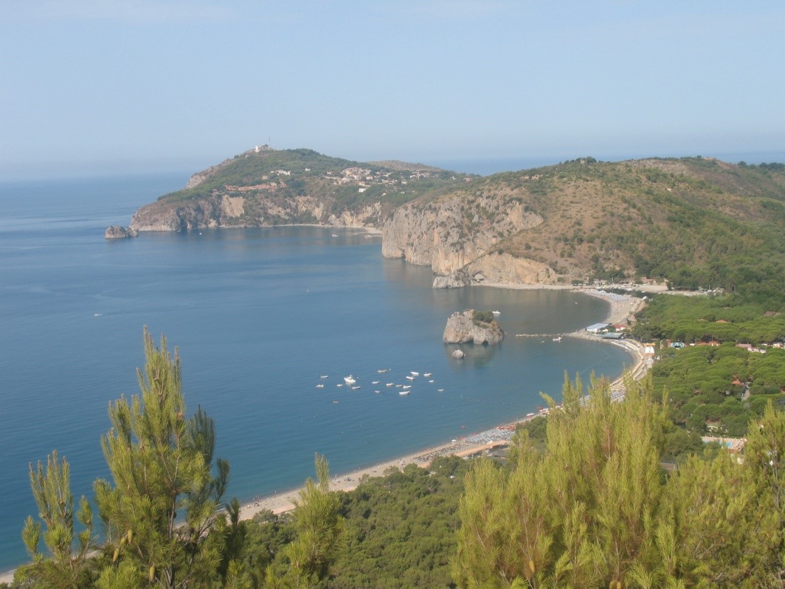
Landscape photo